福五影像-台灣全圖 取得連結 Facebook X Pinterest 以電子郵件傳送 其他應用程式 - 5月 17, 2019 福爾摩沙衛星五影像-台灣全圖A3版本,可以在 網址 下載。 由NAR Labs提供 圖片來源:yimg.com Yahoo! 閱讀完整內容
散射 大氣改正比較圖 取得連結 Facebook X Pinterest 以電子郵件傳送 其他應用程式 - 5月 18, 2018 Photo credit: Bruno Sánchez-Andrade Nuño Before and after atmospheric correction – Points of interest :by Bruno Sánchez-Andrade Nuño 閱讀完整內容
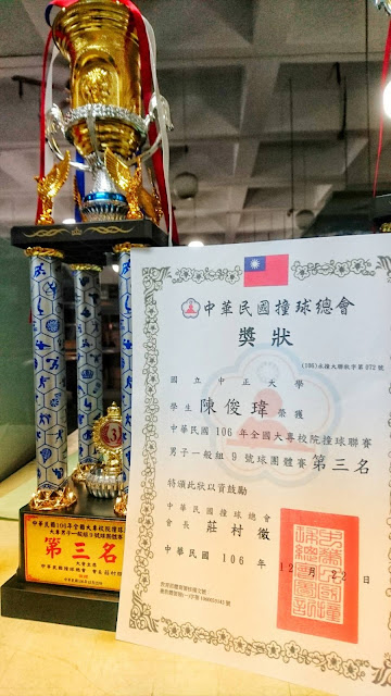
狂賀!本研究室成員陳俊瑋同學代表學校參加中華民國106年全國大專校院撞球聯賽獲得男子一般組9號球團體賽第三名。 取得連結 Facebook X Pinterest 以電子郵件傳送 其他應用程式 - 12月 28, 2017 閱讀完整內容
From GIS to Remote Sensing: Supervised Classification for Flood Monitoring Using the Semi-Automatic Classification Plugin 取得連結 Facebook X Pinterest 以電子郵件傳送 其他應用程式 - 10月 12, 2017 From GIS to Remote Sensing: Supervised Classification for Flood Monitoring Using the Semi-Automatic Classification Plugin : To be updated.... 閱讀完整內容
即時衛星軌道 取得連結 Facebook X Pinterest 以電子郵件傳送 其他應用程式 - 9月 28, 2017 http://www.n2yo.com/ 這張是福衛5號的即時位置截圖(map source: google; satellite track: n2yo.com) 閱讀完整內容
虎子山三角點法規 取得連結 Facebook X Pinterest 以電子郵件傳送 其他應用程式 - 1月 09, 2017 這是TWD67的大地基準,這個法規現在已經廢止。 資料來源: 全國法規資料庫 閱讀完整內容